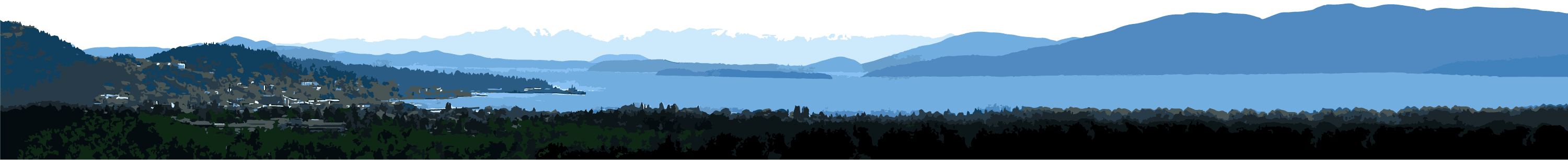
Bellingham Bay is located between the Strait of Georgia and the Strait of Juan de Fuca near the United States-Canadian border. The Bay extends from Lummi Peninsula to the west to Clark’s Point to the east. The Nooksack River is the largest freshwater system entering Bellingham Bay.
This contribution is relatively recent and a result of the disconnection of the Lummi River in the 1800s. As a result, the Nooksack River delta on the western half of the bay is relatively young and increasing in size. Several other smaller streams drain into Bellingham Bay: Little Squalicum Creek, Squalicum Creek, Whatcom Creek, and Padden Creek.
Over the past 150 years, Bellingham Bay has lost an estimated 282 acres of aquatic land (mostly intertidal estuarine habitat) to development. Today the shoreline is largely altered with railroads, marinas, and development associated with the City of Bellingham.
Despite past development, seven small estuaries – called “pocket estuaries” – remain in and around the City of Bellingham, including Padden Creek Estuary and Post Point Lagoon. Pocket estuaries provide important habitat features including eelgrass beds, saltwater marsh, large woody debris, and the connection to other productive nearshore habitats.
Bellingham Bay marine nearshore habitats are known to be utilized by fish including juvenile Chinook salmon and Great Blue Herons associated with the Post Point Heron Colony. In addition, the nearshore is also shown to be used by surf smelt and sand lance- species of forage fish – for spawning. Forage fish are an important food source for salmon.
Estuary Video
Learn more about the importance of local estuaries in the video below, created by the City of Bellingham Public Works Natural Resources Division.