The Edgemoor Neighborhood, located in southwest Bellingham, is generally bounded by Cowgill Road on the north, Chuckanut Drive on the east, Briza Court on the south, and Bellingham Bay on the west.
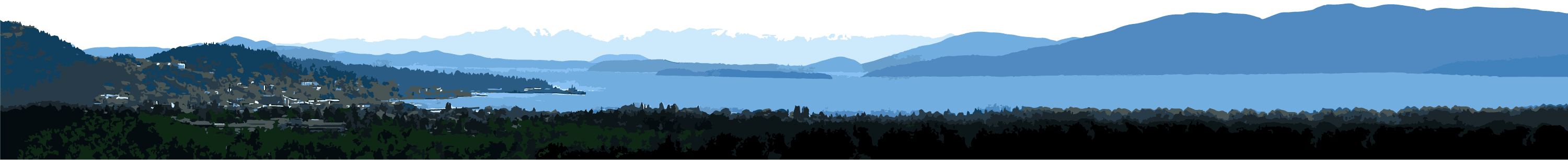
The large lots, mature landscaping and quiet residential character of the Edgemoor Neighborhood are valued assets for its 2,000 residents. The area also has magnificent views of Bellingham Bay and the San Juan Islands. The entire southern one-third of the Edgemoor Neighborhood has some of the most magnificent property in the city.
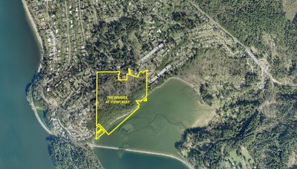
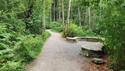
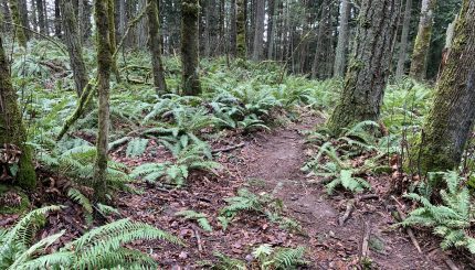
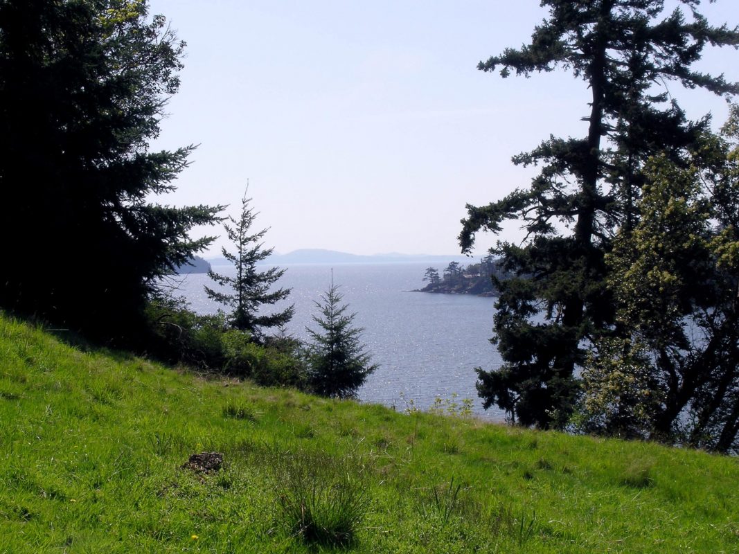
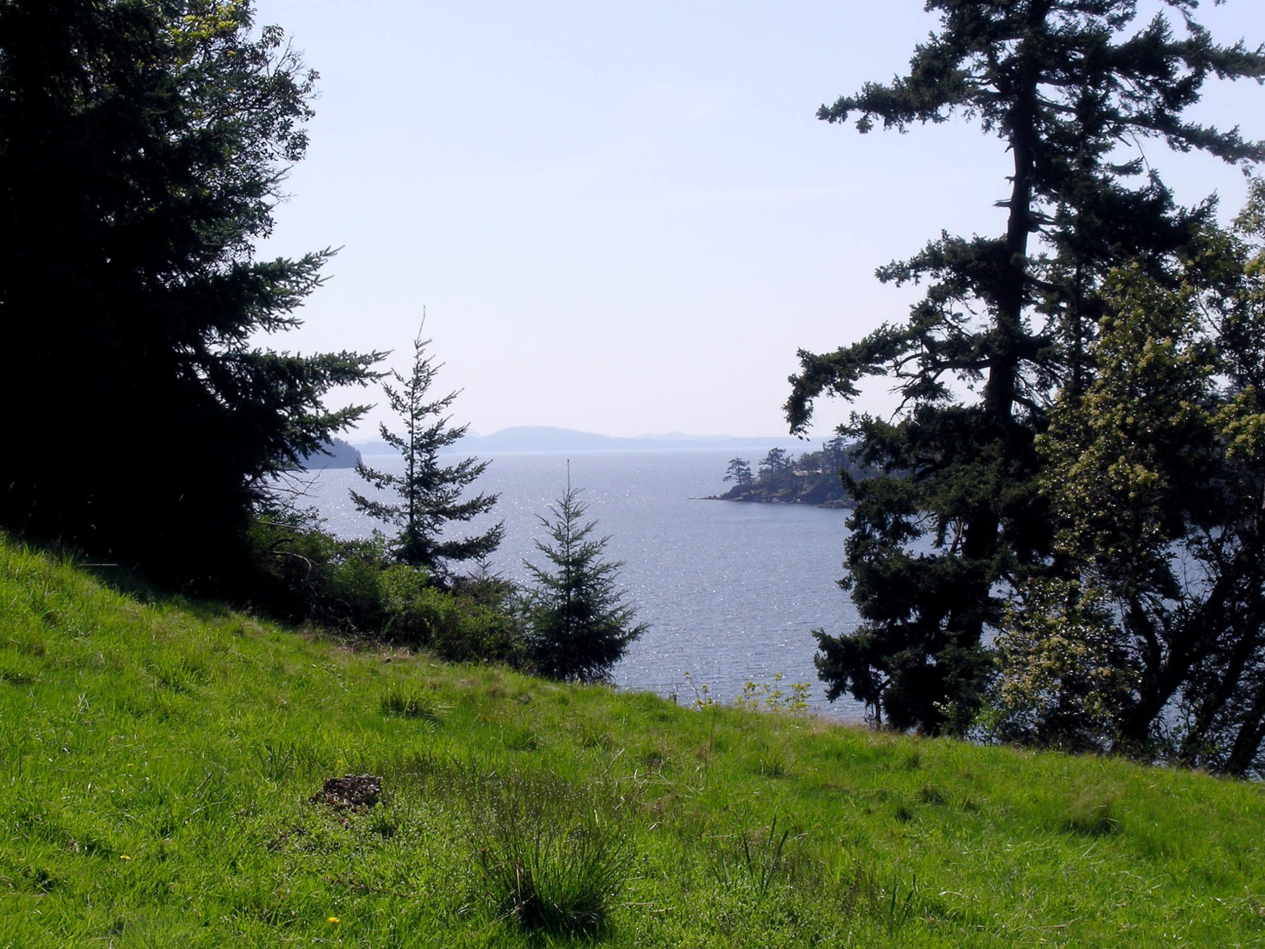
A large, steep, heavily wooded peninsula, commonly known as Clark’s Point, extends into Bellingham Bay, forming the western boundary of Chuckanut Bay. Clarks Point is protected from further development with a conservation easement. City-owned greenway and tidelands provide public access to Chuckanut Bay. Steep slopes follow the edges of Chuckanut Bay, paralleling Viewcrest Road, and, together with Clark’s Point, provide a natural resource amenity.
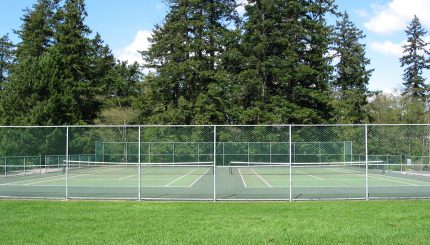
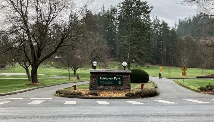
Another Edgemoor asset is Fairhaven Middle School, which occupies about 13 acres in the northeast part of the neighborhood. Nearby Fairhaven Park provides a wide range of recreational opportunities to neighborhood residents.
Photos


Resources
Neighborhood Plan (PDF)
Neighborhood Zoning Table
Maps
Aerial photo (728K PDF)
Basemap (4,230K PDF)
Circulation (689K PDF)
Comprehensive Plan land use (200K PDF)
Current land use (1,220K PDF)
Zoning (241K PDF)