Paper copies can be purchased from the Planning Department for the following prices
18″ x 24″ Maps are $10.00
27″ x 36″ Maps are $16.00
36″ x 48″ Maps are $21.00
Local pick-ups only – no mailouts.
Resources
Census Blocks Maps
Election Boundaries Maps
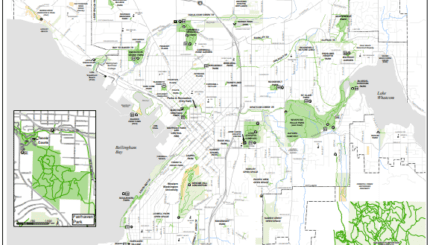
Neighborhood Maps
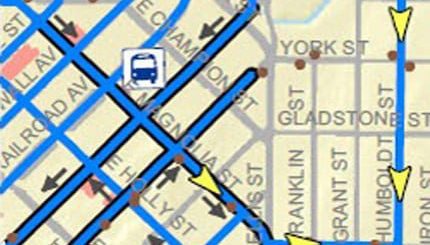
Traffic Maps
Public Art – Interactive Map Tour
Online Map Viewer